Mission anchor in the valley.
DoneSquare
Mission anchor in the valley.
 Bahia/Brazil, 1887
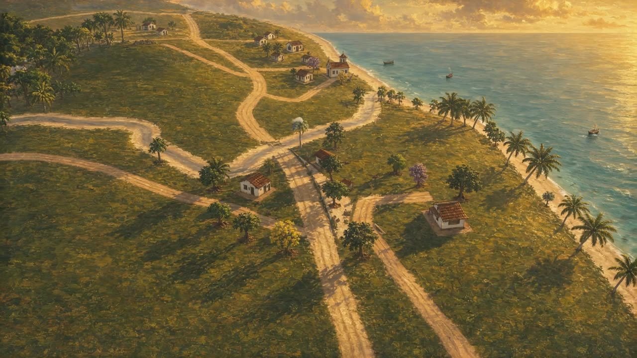
Saubara, Bahia · -12.812313695442, -38.779649550321
A frame of 3.6 by 2 kilometers, exactly 16:9, with the mainland around it and the sea at high tide. Streets, rivers, square and forest sit where they are in the real place.
51 places · 50 in the valley · 1 planned
Zoom and drag the map to explore.
A fishing village of the Recôncavo, between creeks, on the shore of the Baía de Todos os Santos and surrounded by Atlantic Forest. The Chapel of Senhor Bom Jesus dos Pobres was raised on February 25, 1652 by Father Francisco de Araújo, on lands of the old Fazenda Saubara donated to the Santa Casa de Misericórdia of Salvador in 1650. During the War of Independence (1822–1823) the point and the beaches served as trenches to watch over the mouth of the bay. In 1887 the village lived by mariscagem, fishing from canoes and saveiros, manioc plots and flour houses, with the decline of the neighboring sugar mills as its backdrop.
Golden points mark valley landmarks. Other places move around the map or are planned.
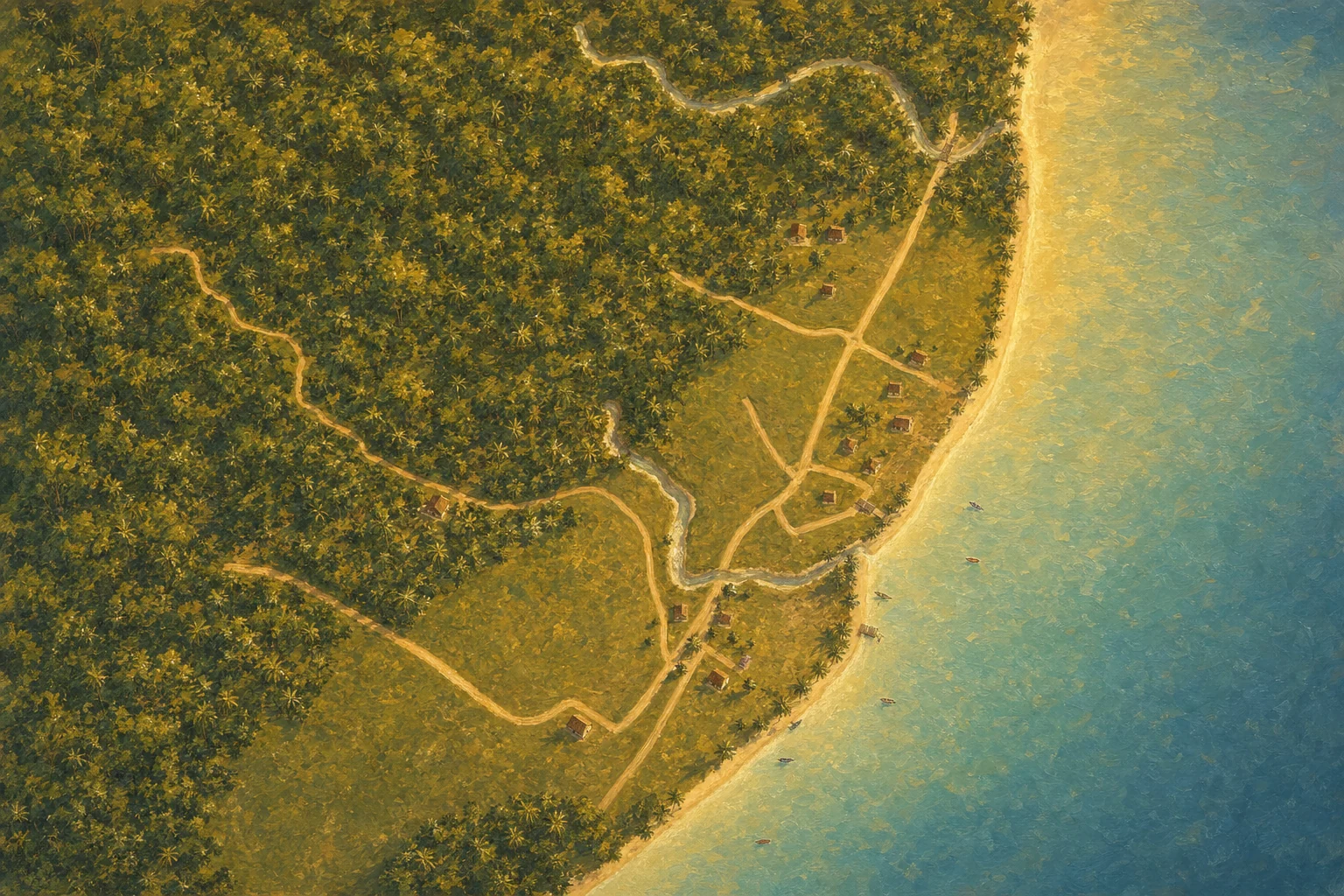
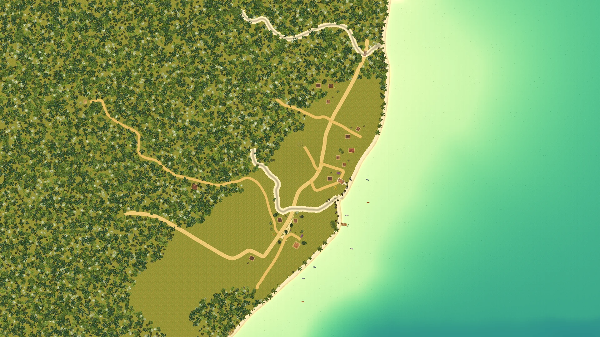 In the game
Painting
Drag the line
54 named places in the valley
Mission anchor in the valley.
DoneMission anchor in the valley.
Mission anchor in the valley.
DoneMission anchor in the valley.
Mission anchor in the valley.
DoneMission anchor in the valley.
Mission anchor in the valley.
DoneMission anchor in the valley.
Mission anchor in the valley.
DoneMission anchor in the valley.
Mission anchor in the valley.
DoneMission anchor in the valley.
Mission anchor in the valley.
DoneMission anchor in the valley.
Mission anchor in the valley.
DoneMission anchor in the valley.
Mission anchor in the valley.
DoneMission anchor in the valley.
Mission anchor in the valley.
DoneMission anchor in the valley.
Mission anchor in the valley.
DoneMission anchor in the valley.
Mission anchor in the valley.
DoneMission anchor in the valley.
Mission anchor in the valley.
DoneMission anchor in the valley.
Mission anchor in the valley.
DoneMission anchor in the valley.
Mission anchor in the valley.
DoneMission anchor in the valley.
Mission anchor in the valley.
DoneMission anchor in the valley.
Mission anchor in the valley.
DoneMission anchor in the valley.
Mission anchor in the valley.
DoneMission anchor in the valley.
Mission anchor in the valley.
DoneMission anchor in the valley.
Mission anchor in the valley.
DoneMission anchor in the valley.
Mission anchor in the valley.
DoneMission anchor in the valley.
Mission anchor in the valley.
DoneMission anchor in the valley.
Mission anchor in the valley.
DoneMission anchor in the valley.
Mission anchor in the valley.
DoneMission anchor in the valley.
Mission anchor in the valley.
DoneMission anchor in the valley.
Mission anchor in the valley.
DoneMission anchor in the valley.
Mission anchor in the valley.
DoneMission anchor in the valley.
Mission anchor in the valley.
DoneMission anchor in the valley.
Mission anchor in the valley.
DoneMission anchor in the valley.
Mission anchor in the valley.
DoneMission anchor in the valley.
Mission anchor in the valley.
DoneMission anchor in the valley.
Mission anchor in the valley.
DoneMission anchor in the valley.
Mission anchor in the valley.
DoneMission anchor in the valley.
Mission anchor in the valley.
DoneMission anchor in the valley.
Mission anchor in the valley.
DoneMission anchor in the valley.
Mission anchor in the valley.
DoneMission anchor in the valley.
Mission anchor in the valley.
DoneMission anchor in the valley.
Mission anchor in the valley.
DoneMission anchor in the valley.
Mission anchor in the valley.
DoneMission anchor in the valley.
Mission anchor in the valley.
DoneMission anchor in the valley.
Mission anchor in the valley.
DoneMission anchor in the valley.
Mission anchor in the valley.
DoneMission anchor in the valley.
Mission anchor in the valley.
DoneMission anchor in the valley.
Mission anchor in the valley.
DoneMission anchor in the valley.
Mission anchor in the valley.
DoneMission anchor in the valley.
Mission anchor in the valley.
DoneMission anchor in the valley.
Mission anchor in the valley.
DoneMission anchor in the valley.
Mission anchor in the valley.
DoneMission anchor in the valley.
Planned: the lagoon east of Seu Benedito. Where the river widens before heading to the sea. It is Iara's place: the sign 'What looked back', her pact and the cordel 'A Moça que Morava na Água' await her. Freshwater fishing.
PlannedPlanned: the lagoon east of Seu Benedito. Where the river widens before heading to the sea. It is Iara's place: the sign 'What looked back', her pact and the cordel 'A Moça que Morava na Água' await her. Freshwater fishing.
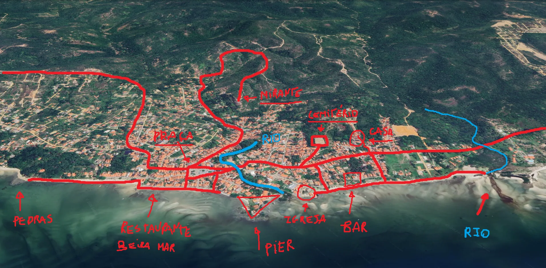
From scribble to ground
Use the arrows on your keyboard