Log · Sunday, September 27, 2026
The sea of the nautical chart
The seabed now follows the Navy's nautical chart. You can swim, the river mouth appears, the waves come in sets and every ground has its own sound.
How it went
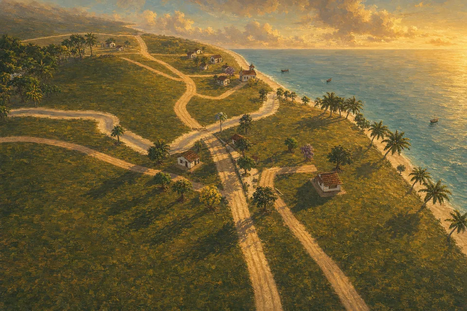
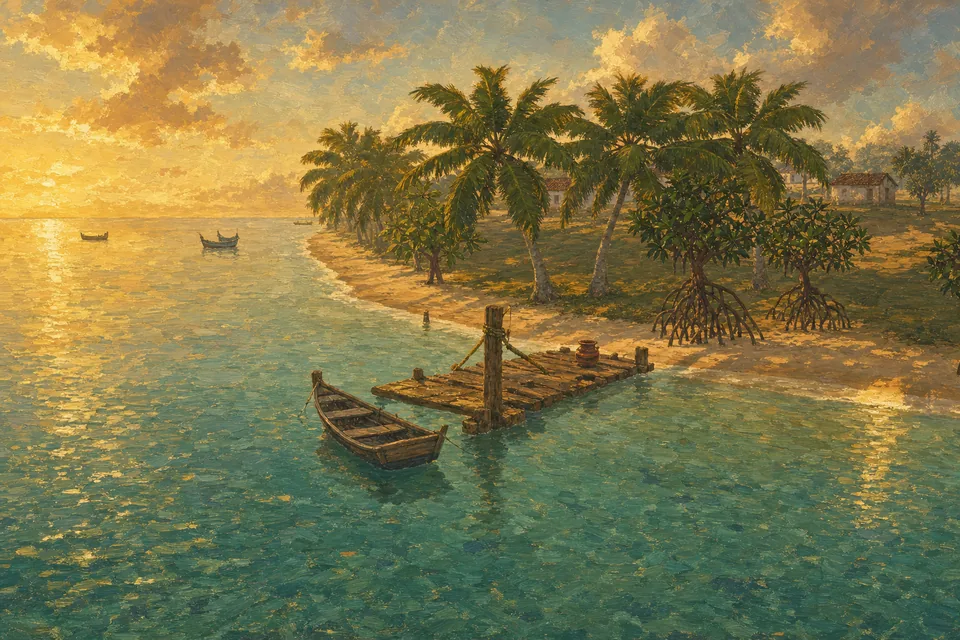
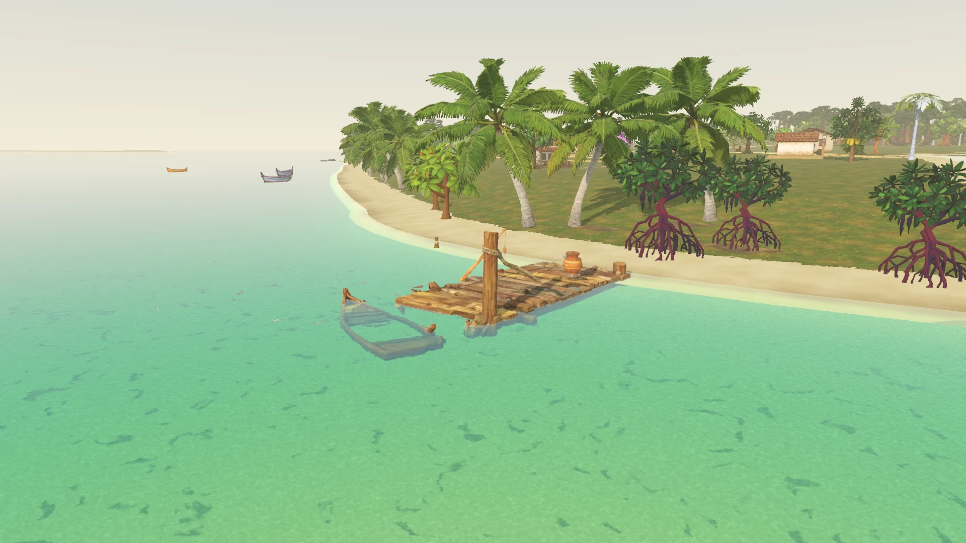
The sea got the real seabed of DHN nautical chart 1108 and the world was framed at 16:9 on the mainland, as in the game map. With that came swimming, the sandy beach, the river mouth, the swells and the school of fish.
The sun began rising and setting in its real position, the houses were turned to face the street and the streets got curves. Every ground got its own footstep sound.
The sea of the nautical chart
The sea got the real seabed of DHN nautical chart 1108 and the world was framed at 16:9 on the mainland, as in the game map. With that came swimming, the sandy beach, the river mouth, the swells and the school of fish.
The sun began rising and setting in its real position, the houses were turned to face the street and the streets got curves. Every ground got its own footstep sound.
The cemetery received its headstones and its gravedigger, and the villagers began walking animated and going around the water instead of through it.
Milestones of the day
- Seabed from the nautical chart
- Swimming and the river mouth
- Footstep sounds by ground
Featured commits
- Unified corner, settings and map in game, headstones with a gravedigger
- Real sea from the nautical chart, 16:9 world on the mainland and fast loading
- Real sun, houses facing the street, curved streets, stride without sliding and sounds by ground
- New lines with their own voices, a bubble that covers no one and controls in the "?"
- Waves in sets, textured sand, crossings, tree bases, tree records and name tags
- Swimming, sandy beach, river mouth, swells, a school of fish and villagers who walk around
Who worked: Ramon Santos and Renato Leal.
10 commits
In the 3D game
bd8a588Unified corner, settings and map in game, headstones with a gravediggerf9fe48aAdd ochre dirt road and ground texturesccf3bfdNew lines with their own voices, a bubble that covers no one and controls in the "?"aadf182Refine coast and pier surfaces2c69a26Animated villagers, a speech queue and sound/time adjustmentse38f9b4Real sea from the nautical chart, 16:9 world on the mainland and fast loading237f6ccSwimming, sandy beach, river mouth, swells, a school of fish and villagers who walk aroundb8992e7Real sun, houses facing the street, curved streets, stride without sliding and sounds by ground24246aeWaves in sets, textured sand, crossings, tree bases, tree records and name tags6eaaef6Staged loading, without freezing
Keep reading
Before and after
The real map becomes ground
The day that changed the 3D: the Google Earth drawing becomes a navigable world, the scale becomes 1 unit = 4 m and a batch of 68 Tripo pieces enters the valley. Day and night cycle, the lights of 1887 and villagers with voices.
33 in 3D 4 in 2D 24,258 lines
28Sep · Mon
Build 6: tide and shark
The tide rises and falls, a shark prowls the deep part and the church of Bom Jesus comes from photos of the place. The loading screen gets the "Recôncavo Chronicle" identity.
7 in 3D 13 in 2D 11,202 lines